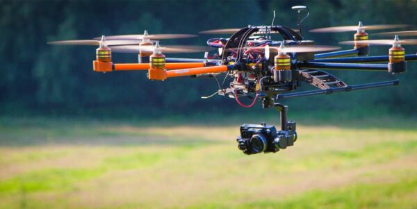
3d model drone services: Know more about it!
There are numerous options for 3D photogrammetry software for drones. Many 3D mapping drone services companies offer a free version or a free evaluation period, allowing you to test the software before making a purchase. The various photogrammetry software packages can then be compared. We review the best photogrammetry software for creating 3D maps and […]
